Nyckelfunktioner för C-MAP DISCOVER™
- Full Featured Vector Charts
- Tides & Currents
- Hi Res Bathymetry Layer
- Detailed Marina Port Plans
- Integrated Genesis Layer
- Custom Depth Shading
- 12 Months’ Free Updates
- Subscription-Free Easy Routing
C-MAP DISCOVER
Utforska vattnet på dina egna villkor med C-Map Discover – den ultimata lösningen för att få ut det mesta av din tid på sjön. Med en imponerande uppsättning funktioner ger C-Map Discover dig alla verktyg du behöver för en framgångsrik och njutbar upplevelse på vattnet.
Fullfjädrade vektorkartor - Navigering blir enklare än någonsin med fullfjädrade vektorkartor som ger dig exakt och aktuell kartinformation baserad på officiell data från Hydrografiska Kontoret.
Högupplöst batymetrilager - Den högupplösta batymetrin (HRB) lagret hjälper dig att identifiera grundområden, avsatser, bottenkanter, hål eller höjder genom exakta konturlinjer ned till en detaljnivå av 1 fot. Det omfattar det bästa av C-MAP HRB-data, inklusive C-MAP Team Lake Surveys (endast USA) och Genesis® sociala kartor, kvalitetskontrollerade och fullt integrerade.
Anpassad djupskuggning - Med möjligheten till anpassad djupskuggning kan du ställa in en säkerhetsnivå, bevara en pappersliknande vy eller skapa din egen anpassade skuggning – se saker på ditt sätt.
Enkel ruttplanering - Den smidiga Easy Routing-funktionen hjälper dig att automatiskt rita den kortaste och säkraste rutten baserat på detaljerad kartinformation och dina personliga fartygsuppgifter. Med C-Map Easy Routing är prenumerationsavgifter alltid helt kostnadsfria.
Tidvatten och strömmar - Få projiceringar av vattennivå och riktning av tidvatten för att planera din dag på vattnet, vare sig du seglar, fiskar eller bara njuter av en båttur.
Detaljerade hamnplaner - Att lägga till i en okänd hamn blir inte längre en utmaning när du har exakta layouter av tusentals marina hamnar, inklusive förtöjningsplatser, begränsade områden och annan värdefull navigationsinformation.
Med C-Map Discover ser du saker på ditt eget sätt och får en helt ny upplevelse av sjölivet. Utforska vatten och kuster med förtroende och få ut det bästa av varje ögonblick med den omfattande funktionalitet som C-Map Discover har att erbjuda.
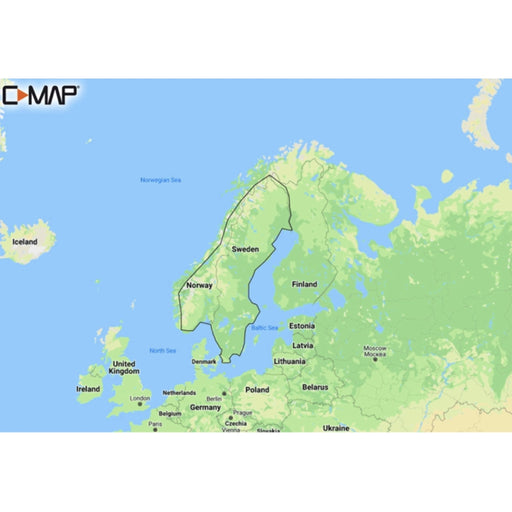
C-MAP DISCOVER - Scandinavia Inland Waters
C-MAPDiscover M-EN Y210 Scandinavia Inland Waters Discover has everything you need to make the most of your time on the water. Full vector graphics w...
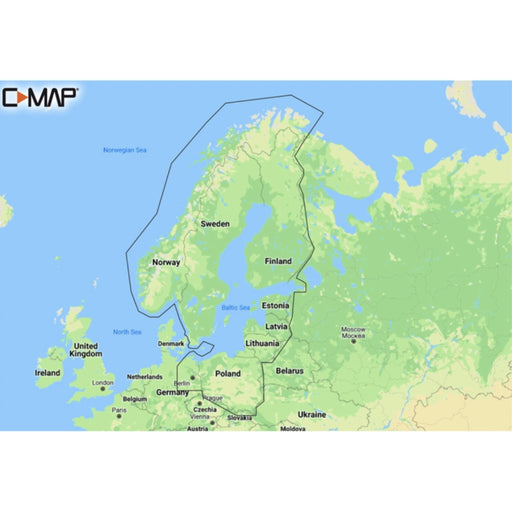
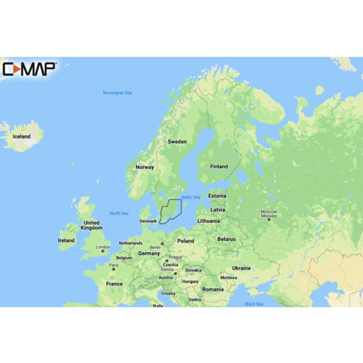
View full detailsC-MAP DISCOVER - Baltic Sea
C-MAPDiscover M-EN Y055 Baltic Sea Continental C-MAP Discover - whether you're cruising or fishing, C-MAP® DISCOVER™ provides a selection ...
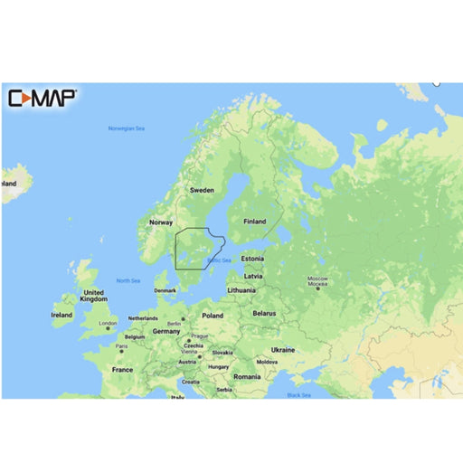
View full detailsC-MAP DISCOVER - Västervik to Söderhamn
C-MAPC-MAP Discover - whether you're cruising or fishing, C-MAP® DISCOVER™ provides a selection of coverage areas with all the key features you need ...
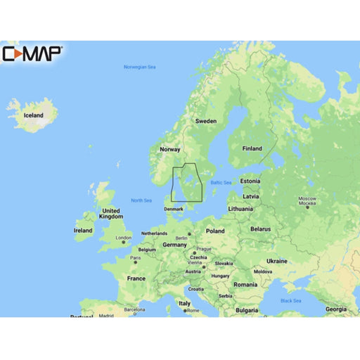
View full detailsC-MAP DISCOVER - Torekov to Larvik
C-MAPDiscover M-EN Y206 Torekov-Larvik Discover has everything you need to make the most of your time on the water. Full vector graphics with high reso...
View full detailsC-MAP DISCOVER - Malmö to Valdermarsvik
C-MAPDiscover M-EN Y207 Malmö-Valdemarsvik C-MAP Discover - whether you're cruising or fishing, C-MAP® DISCOVER™ provides a selection of cov...
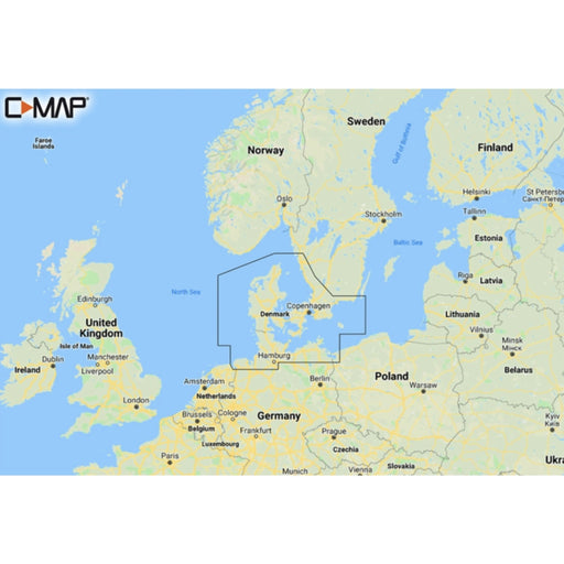
View full detailsC-MAP DISCOVER - Karlskrona to Emden
C-MAPDiscover M-EN Y205 Karlskrona-Emden C-MAP Discover - whether you're cruising or fishing, C-MAP® DISCOVER™ provides a selection of cover...
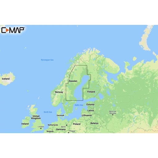
View full detailsC-MAP DISCOVER - Gulf of Bothnia
C-MAPDiscover M-EN Y209 Gulf Of Bothnia Discover has everything you need to make the most of your time on the water. Full vector graphics with high r...
View full detailsC-Map DISCOVER - Northern & Central Europe
C-MAPDiscover M-EN Y050 Northern & Central Europe Continental Discover has everything you need to make the most of your time on the water. Full v...
View full detailsC-Map DISCOVER - Benelux Inland & Coastal
C-MAPDiscover M-EN Y216 Benelux Inland & Coastal Discover has everything you need to make the most of your time on the water. Full vector graphic...
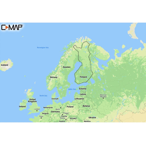
View full detailsC-MAP DISCOVER - Finland Lakes
C-MAPDiscover M-EN Y211 Finland Lakes Discover has everything you need to make the most of your time on the water. Full vector graphics with high res...
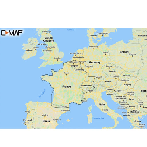
View full detailsC-MAP DISCOVER - French Inland Waters
C-MAPDiscover M-EW Y206 French Inland Waters Discover has everything you need to make the most of your time on the water. Full vector graphics with h...
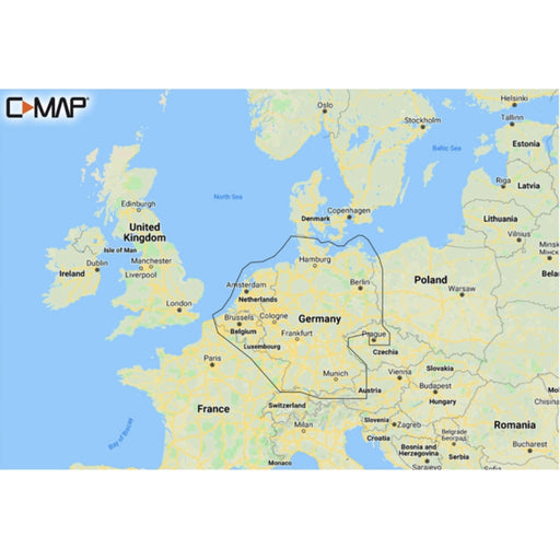
View full detailsC-Map DISCOVER - Germany & Netherland Inland
C-MAPDiscover M-EN Y215 Germany & Netherland Inland Discover has everything you need to make the most of your time on the water. Full vector grap...
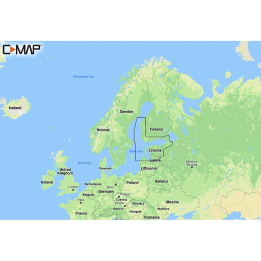
View full detailsC-Map DISCOVER - Gulf of Finland & Åland Islands Archipelago
C-MAPDiscover M-EN Y212 Gulf of Finland & Åland Discover has everything you need to make the most of your time on the water. Full vector graphics...
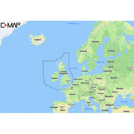
View full detailsDISCOVER - United Kingdom & Ireland
C-MAPDiscover M-EW Y200 United Kingdom & Ireland Discover has everything you need to make the most of your time on the water. Full vector graphics...
View full details
